Lake Forest Park, From the Ground Up
The Footprint of Lake Forest Park
About 13,000 residents share Lake Forest Park’s wooded square miles at the northern tip of Lake Washington, bordered by Seattle, Shoreline, and Kenmore. Bothell Way, SR-522, runs the shoreline edge past the town center, and Ballinger Way, SR-104, climbs northwest toward Edmonds. The Burke-Gilman Trail follows the old rail line along the water, and the city rises from lake level to forested ridge in under a mile.
A Garden Suburb by Design
The lake’s north shore was Coast Salish fishing and travel ground long before plats and covenants. Ole Hanson bought logged-over land in 1912 and marketed a different kind of suburb: curvilinear streets fitted to the terrain, building restrictions that kept the trees, and parcels pitched to buyers who wanted a forest address with a city commute. The design predated zoning and outlasted it.
The community incorporated in 1961 to keep control of that character, and it has guarded the pattern since: residential under the canopy, commerce concentrated at the town center, creeks and ravines left wild. Third Place Commons opened in the late 1990s and gave the dispersed forest city the gathering hall that its plan never included.
The Practical Side of a Lake Forest Park Move
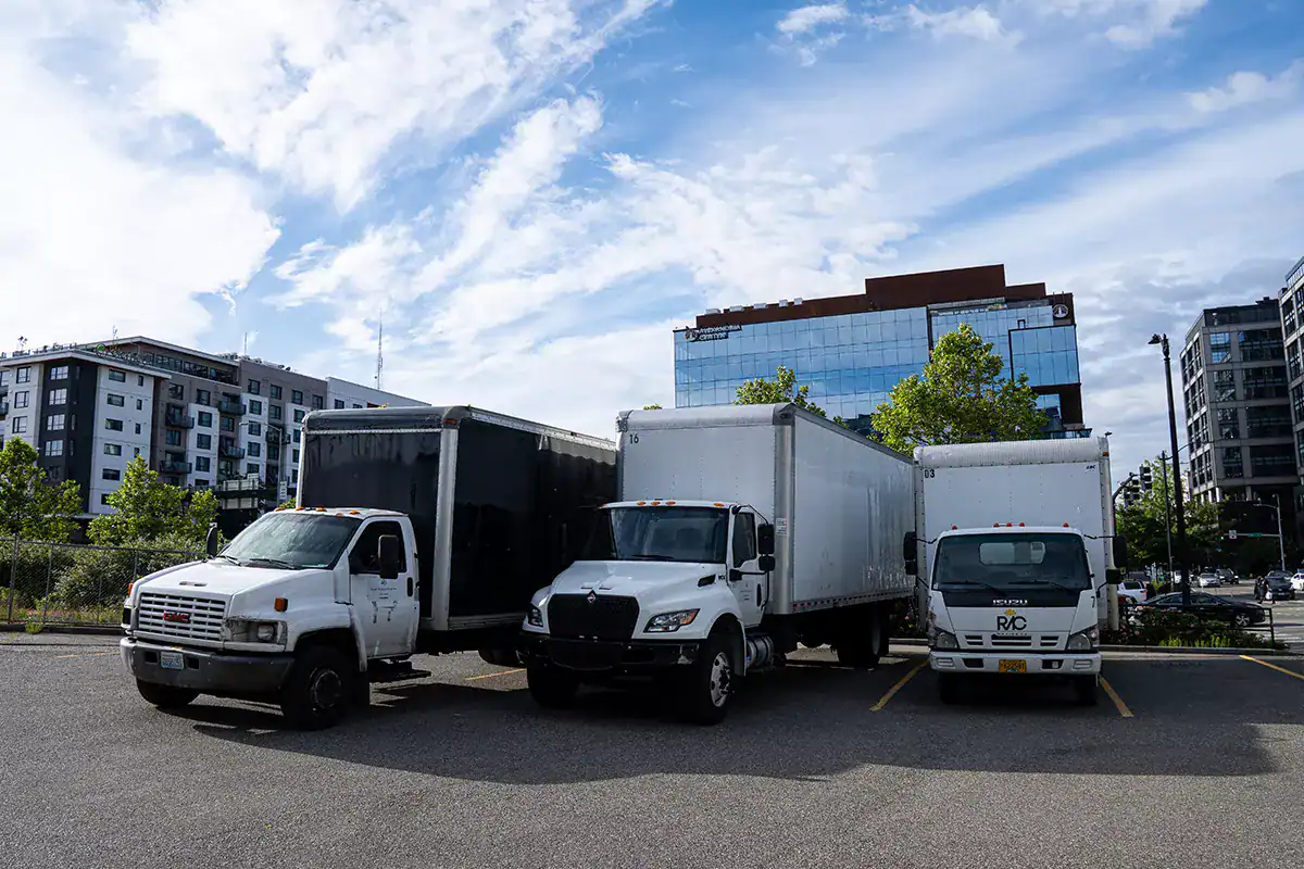
The 1912 streets are the whole puzzle. They curve, they climb, they narrow under the trees, and many serve as the only route through their pocket of the hill, so a parked moving truck must leave room for neighbors to pass. We scout every lane, confirm tree clearance for the box height, and position the vehicle where the street allows.
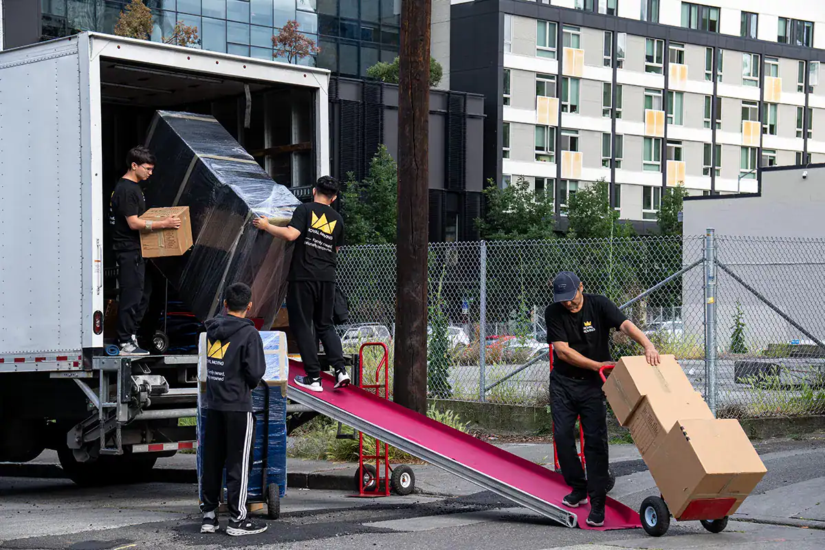
Driveways run long and steep, and plenty of homes sit well below or above their road. That means planned carries, extra crew on the stairs, and sometimes a smaller shuttle truck working between the house and the rig.
SR-522 along the bottom of the city stacks up at rush hours, so arrival and departure legs get timed around it.