A Portrait of Kirkland
Kirkland on the Map
Kirkland’s 95,000 residents line the northeastern shore of Lake Washington, 11 miles from Seattle across the SR-520 bridge. I-405 runs the city’s eastern side, Market Street and Lake Washington Boulevard trace the water, and the Cross Kirkland Corridor cuts diagonally on the old rail bed. Downtown sits at Moss Bay with Marina Park at its foot, Juanita holds the northern bays, and Totem Lake anchors the I-405 commercial district.
Peter Kirk’s Unfinished Steel City
The lake people fished these bays for generations before the speculators came. Peter Kirk’s 1880s steel venture platted the town, raised its first brick blocks, and collapsed in the 1893 panic with the mill complete but never fired. The town incorporated in 1905 and worked its waterfront: a woolen mill that clothed Klondike miners, ferries crossing to Seattle before the bridges, and shipyards that built vessels through both world wars at the site that is now Carillon Point.
The floating bridges ended the ferry era and turned Kirkland residential. Costco ran its early operations from here in the 1980s, naming its house brand after the city. Annexations in 2011 brought Finn Hill, Juanita, and Kingsgate inside the limits and nearly doubled the population, and the Totem Lake redevelopment gave the city a second urban center.
How Kirkland Moves Get Planned
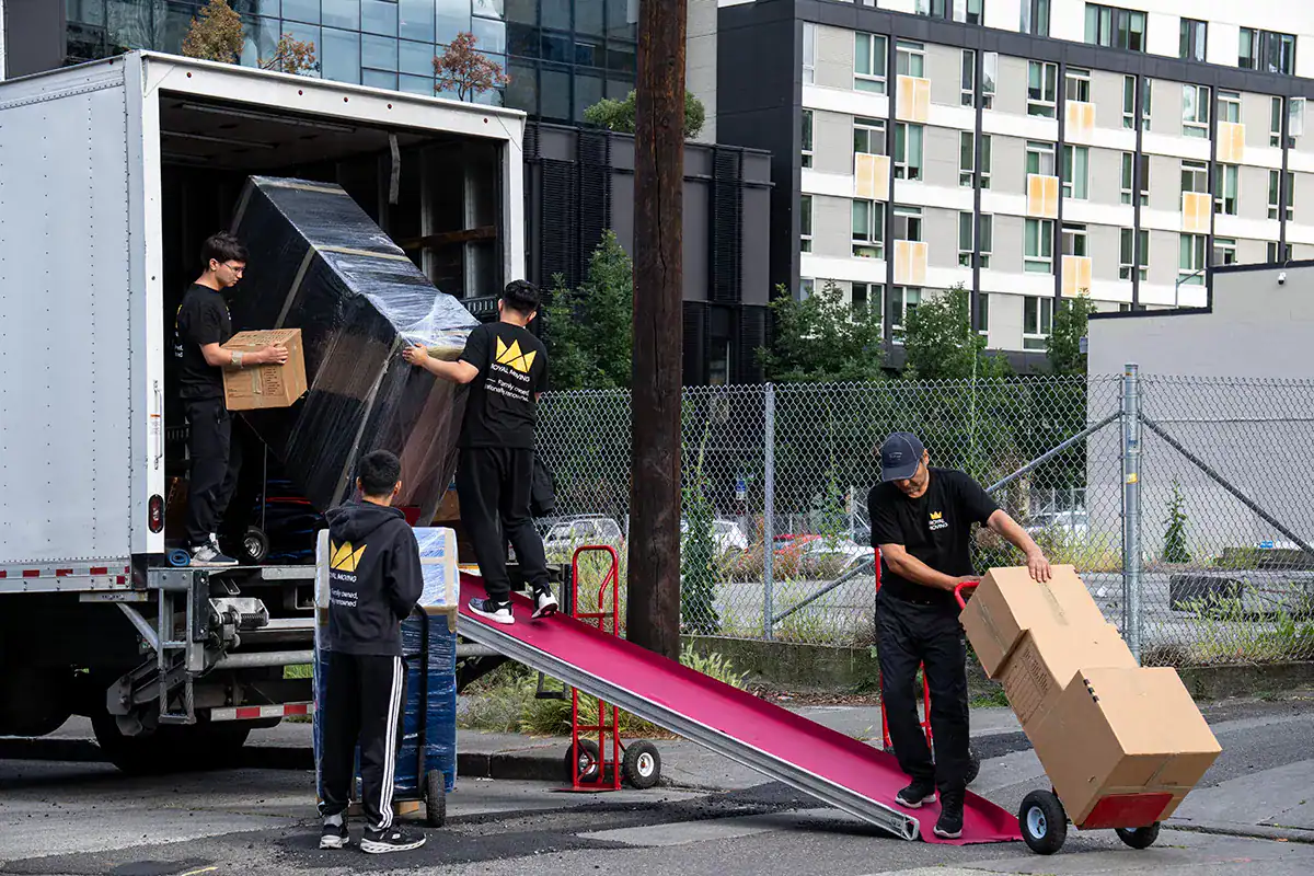
Everything slopes toward the lake. Streets between Market and the water drop hard, view homes stacked on terraced lots, and driveways angle in ways that decide where a truck can stand. We walk the property, plan the carry, and bring shuttle vehicles when the lane is too tight for the full rig.
Downtown adds the parking problem: metered blocks, busy summer weekends, and condo buildings with reserved loading bays and elevator windows that managers control. Reservations go in days early.
SR-520 and I-405 bracket the timing. Cross-lake legs run outside bridge peaks, and Totem Lake jobs dodge the 405 crawl.