Getting Acquainted With Lynnwood
Mapping Lynnwood
About 40,000 residents fill Lynnwood’s grid in southwest Snohomish County, 16 miles north of Seattle, where I-5, I-405, and SR-99 converge. The 1 Line terminates at Lynnwood City Center station, the Interurban Trail runs the old trolley alignment, and Alderwood Mall sits at the 405 interchange. Scriber Lake hides a quiet park in the middle of the commercial core, and the residential plats spread west toward Edmonds and north toward the county campus.
From Chicken Ranches to Light Rail
Coast Salish peoples crossed and used these forests for generations before the timber companies cut them. Puget Mill’s Alderwood Manor scheme of 1917 sold the stump land as miniature poultry farms, complete with a demonstration farm to teach city buyers the trade, and the Seattle-Everett interurban hauled the eggs. The trolley died in 1939, Highway 99 took over, and the roadside settlement at the crossroads grew into the city that incorporated as Lynnwood in 1959.
The freeway and the mall were built in the late century: I-5 in the 1960s, Alderwood Mall in 1979, and decades of retail growth around them. The 2024 arrival of Link light rail flipped the pattern again, pointing the city’s next chapter at the blocks around the station, where the towers are already changing the skyline.
Running a Move Through Lynnwood
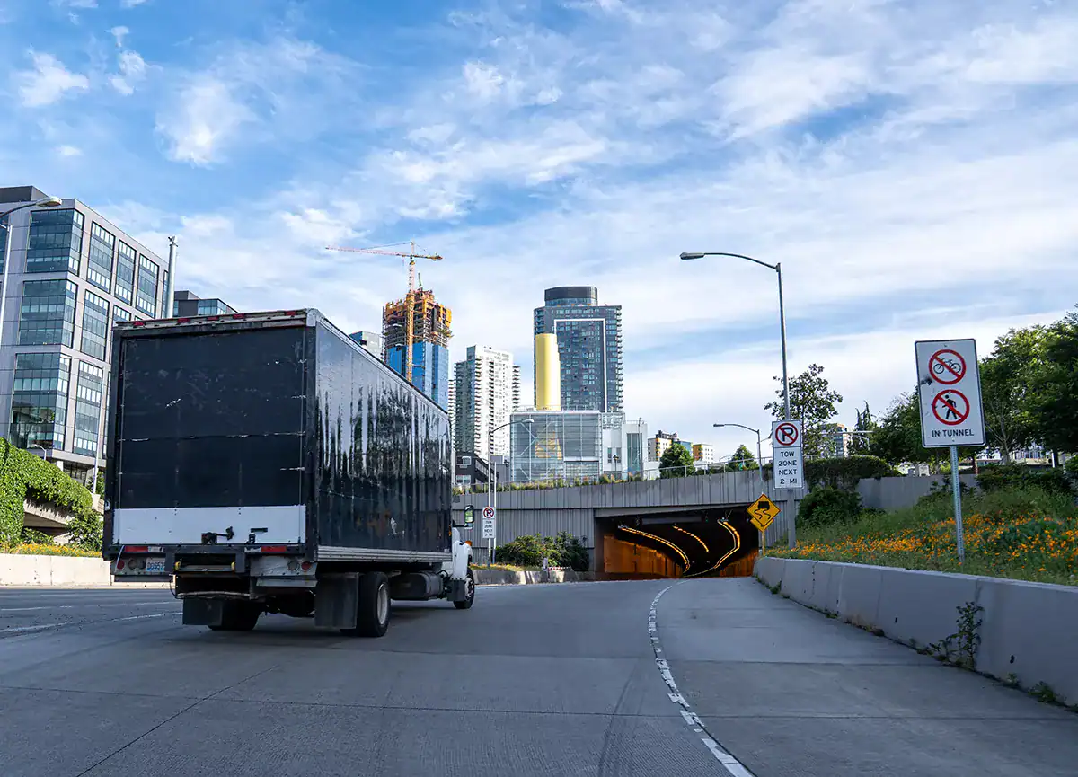
The highways give and take. Three freeways make any direction reachable, and all three jam on schedule, so we time legs around the I-5 and 405 peaks and treat the mall district as a no-go in the holiday weeks.
The new station-area buildings run on reservations: elevators, loading docks, and insurance certificates, all controlled by management, all booked before move day. The older neighborhoods west of 44th are the easy half, with flat streets, driveways, and room to park the truck at the door.
Apartment-to-house moves often cross the city’s full width, and the route choice between surface streets and freeway decides whether the day runs tight or long.