Mukilteo Beyond the Ferry Line
Mukilteo by Land and Water
Mukilteo’s 21,000 residents occupy the bluff and shoreline at the northwest corner of Snohomish County’s urban edge, 25 miles north of Seattle. SR-525 drops from SR-99 and I-5 to the ferry terminal, SR-526 runs east past Boeing toward Everett, and the Sounder stops beside the dock. Lighthouse Park anchors the waterfront, Japanese Gulch’s wooded ravine separates the beach from Paine Field’s plateau, and Harbour Pointe fills the southern bluff.
Treaty Ground and Lighthouse Point
For the Snohomish and neighboring peoples, this beach was a long-used camp and meeting place, and in January 1855, it hosted the Treaty of Point Elliott signing, the agreement that reshaped land and life across the central Sound. The town that followed worked timber, fish, and the waterfront, and the lighthouse began sweeping the point in 1906.
The 20th century brought the ferry run to Whidbey, the Boeing plant to the plateau above, and the Japanese Gulch community of mill workers whose name the ravine keeps. Incorporation came in 1947, Harbour Pointe’s master-planned build-out filled the bluff from the 1980s onward, and the 2020 terminal gave the state’s ferry system its first new station in decades, built with design honoring the treaty ground it stands on.
The Realities of a Mukilteo Move
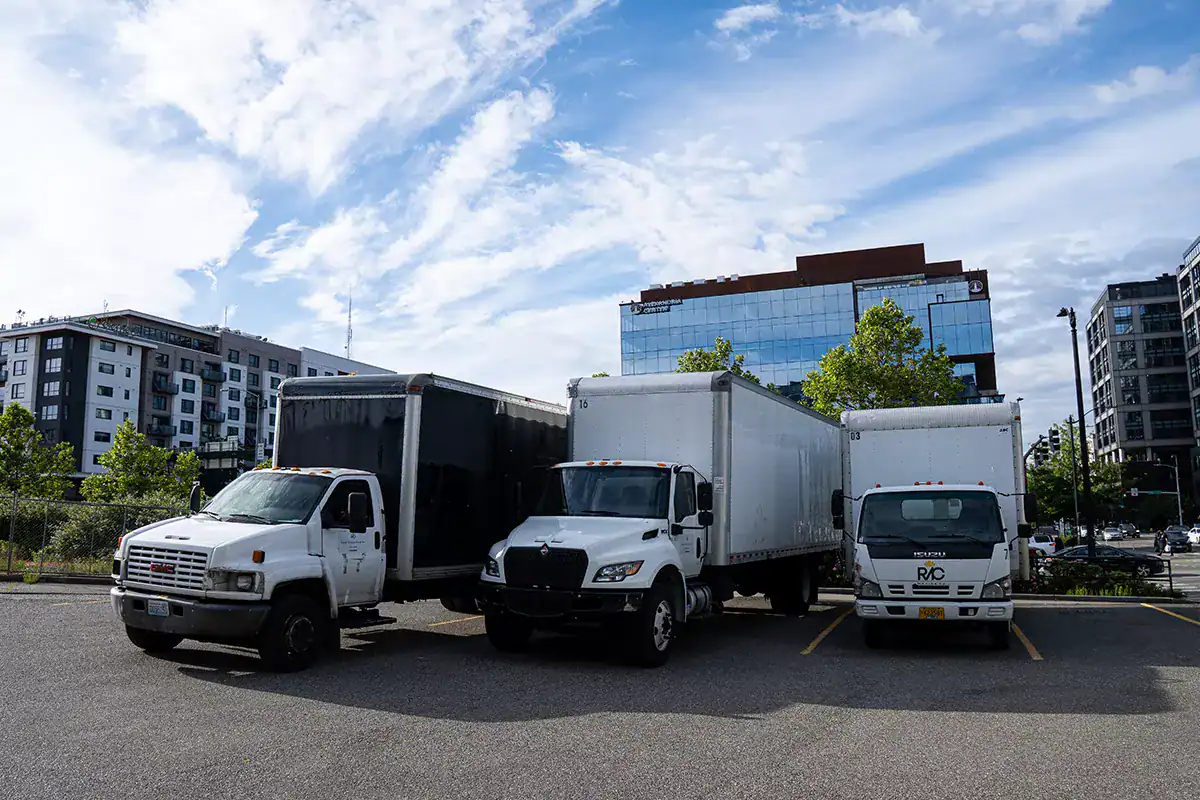
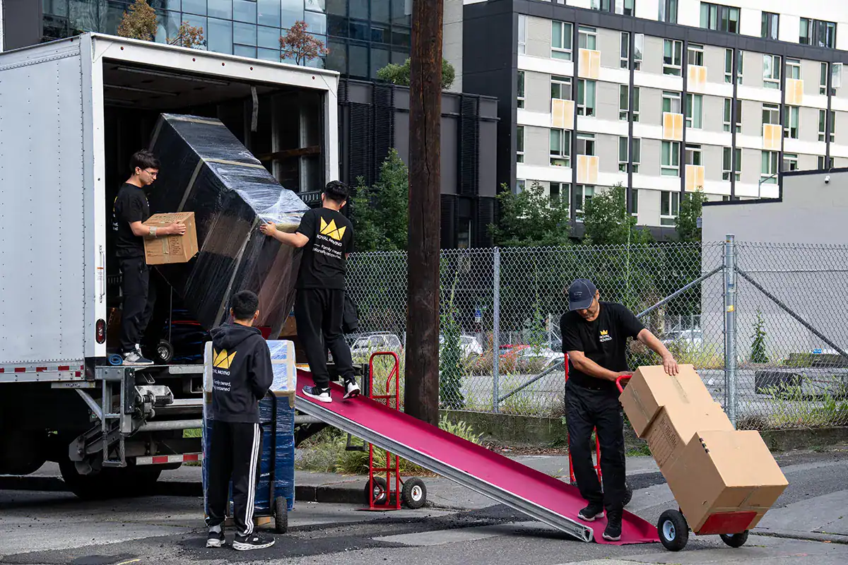
Elevation first. The city drops more than 500 feet from the plateau to the beach, old-town streets are short and tight, and some waterfront lanes cannot host a full truck at all. We scout, stage smaller vehicles when needed, and plan every carry before the date.
The ferry sets the clock. SR-525 stacks with boat traffic at each sailing, holiday weekends multiply it, and the Sounder and waterfront events add their own surges. Moves route and load against that rhythm.
Harbour Pointe is the easy half, with modern streets and driveways, though HOA parking rules and two-story carries still get confirmed and crewed in advance.