Tukwila, Then and Now
Tukwila’s Position
Tukwila’s 21,000 residents occupy the Duwamish valley and its eastern hills, 11 miles south of downtown Seattle, where I-5, I-405, and SR-518 knot together. The light rail’s Tukwila International Boulevard station and the Sounder’s Tukwila station bracket the city. Southcenter fills the valley’s retail core. The Green-to-Duwamish river winds its length, with the Green River Trail along the banks. Fort Dent Park marks the old river confluence.
The Land of Hazelnuts
Duwamish people lived and fished along these river bends for countless generations, and the hazelnut groves that named the place fed village economies long before settlement. Fort Dent went up at the Black River confluence in the 1850s. River steamers and then railroads worked the valley, and truck farms covered the flats deep into the 20th century.
The freeway era rebuilt everything. I-5 and I-405 met here in the 1960s. Southcenter opened in 1968 and grew into the Northwest’s largest mall, and the valley turned from farmland to commerce within a generation. Longacres ran thoroughbreds from 1933 until 1992 before becoming office campuses. The hillsides are filled with neighborhoods that now make Tukwila one of the most diverse small cities in the country.
The Tukwila Move, Up Close
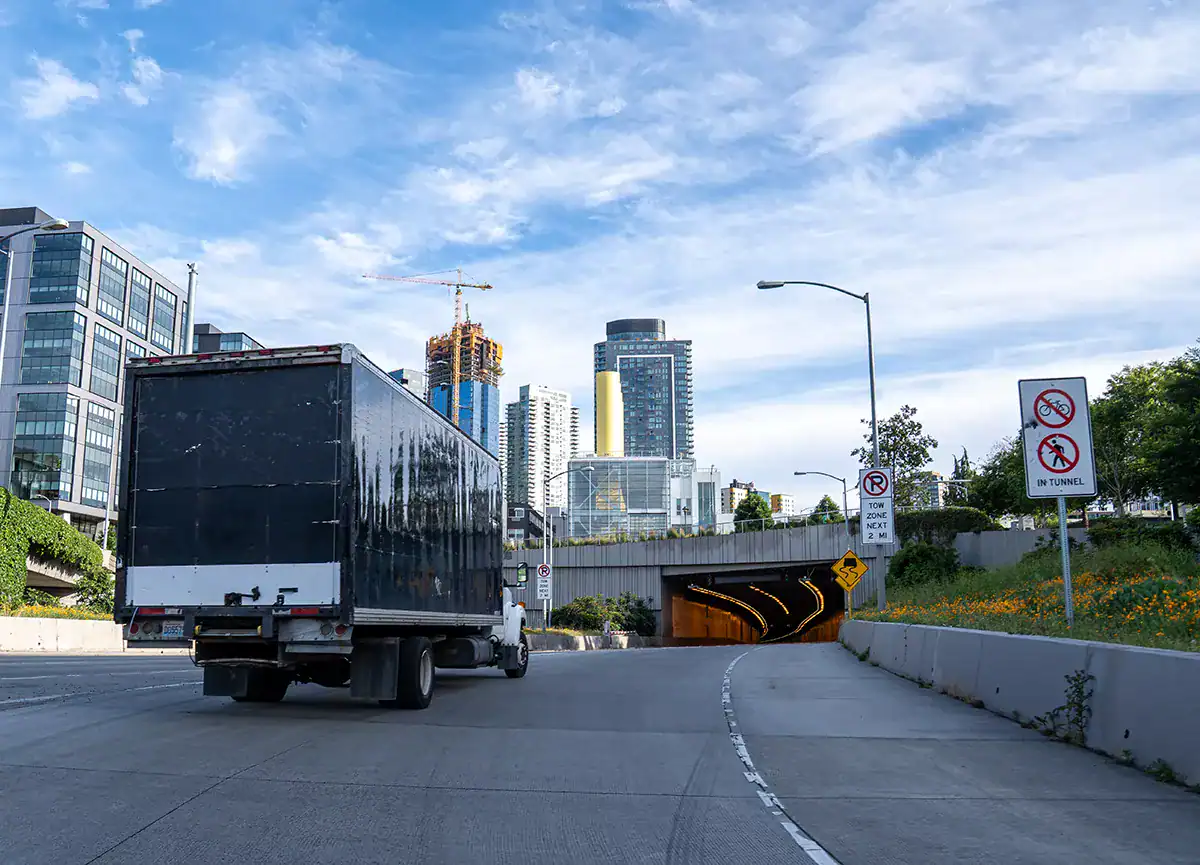
The interchange rules the clock. Every route through the city touches I-5, I-405, or SR-518, and holiday retail season adds Southcenter’s surge, so loaded legs run by the traffic calendar as much as the wall clock.
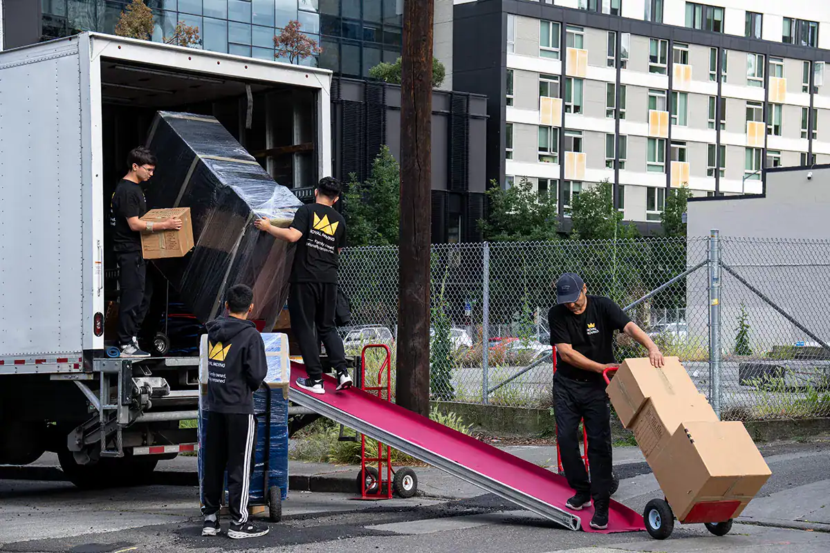
The hills hold the housing. Streets above the valley climb in short, steep runs, and many homes stack on slopes with stair carries between street and door. Crews are sized for it, and protection goes in before the first lift. Valley apartments and townhome rows add managed parking and elevator bookings, arranged with offices in advance.
Hotel and corporate-housing moves, a Tukwila specialty, run on service corridors and dock windows, which we schedule with property management ahead of the date.