Sammamish, Mapped and Remembered
The Plateau in Numbers
About 67,000 residents share the Sammamish plateau, 20 miles east of Seattle, on the high ground between Lake Sammamish and the Snoqualmie Valley. 228th Avenue runs the spine north-south, East Lake Sammamish Parkway traces the western shore below, and SR-202 catches the northern end toward Redmond. Pine Lake and Beaver Lake sit mid-plateau with parks on their shores, and the Commons holds city hall, the library, and the central green.
The Plateau’s Long Road to Cityhood
The lake and plateau sit in the homeland of the Snoqualmie and neighboring Coast Salish peoples, whose trails crossed the high ground between the river valley and the lake. Loggers stripped the first-growth a century ago, and the plateau settled into decades of small farms, summer cabins on the lakes, and gravel-road quiet.
The suburban wave climbed from Issaquah and Redmond in the 1980s, and subdivisions replaced the farm tract by tract. Residents chose incorporation in 1999, creating a city of tens of thousands on day one, and the young government spent its first decades building what instant cities lack: the Commons campus, parks on both lakes, and street upgrades to roads never designed for the population they now carry.
What the Plateau Asks of a Move
Access concentrates. Only a few roads climb the plateau, 228th carries most of the internal load, and school-zone hours slow all of it twice a day. Move legs are timed to the school calendar as much as the commute.
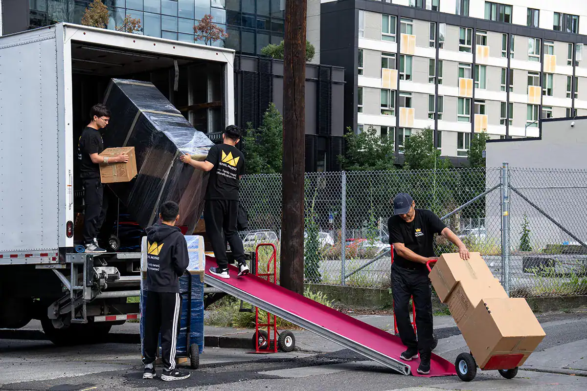
Inside the subdivisions, the work is stairs and scale. The classic Sammamish house is large and vertical, so crews are sized for two-story carries, and the long cul-de-sac loops require parking plans that keep neighbors moving. Lake-adjacent lanes off the parkway run narrow and steep, and we stage smaller vehicles where the big truck cannot work.
Winter adds its own variable: plateau elevation means ice arrives here first, and the steepest driveways get morning-condition checks.