Getting to Know La Verne
How La Verne Sits
La Verne is an independent city in the eastern San Gabriel Valley. It sits within the Pomona Valley region of northeastern Los Angeles County. It covers about 8.42 square miles and holds about 31,334 residents. That works out to a density of around 3,720 people per square mile. Because La Verne is its own city, it sets its own rules on truck access, oversized vehicles, and permits, separate from the City of Los Angeles. City hall sits on D Street. The city runs through a general-law council-manager government with its own police, fire, water, and parks departments.
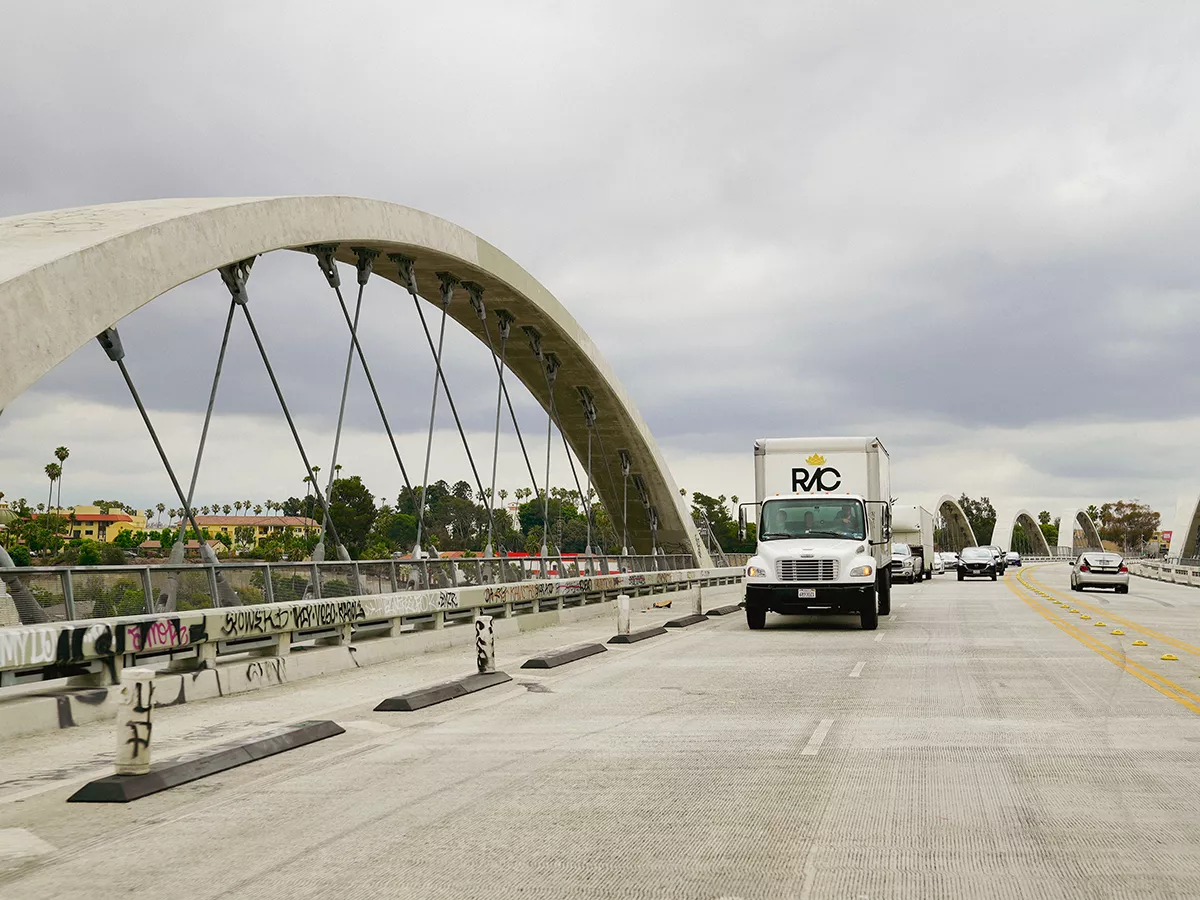
Foothill Boulevard runs east-west as the main commercial route through La Verne. Bonita Avenue and Arrow Highway are the other main east-west corridors. The 210 Foothill Freeway crosses the southern portion of the city, with the 57 and the 10 freeways within a few minutes. La Verne borders San Dimas to the west and Claremont to the east. Pomona lies to the south, Glendora to the southwest, and the Angeles National Forest to the north. Brackett Field, the general aviation airport at the eastern edge of the city, and the University of La Verne campus at the southern end are among the city’s main institutional anchors.
The housing is overwhelmingly single-family and owner-occupied, with about 74.5% of homes owned by their occupants. The household average runs around 2.6 people, and the median household income sits around $104,000. The age profile is older than that of many surrounding cities. The median age is close to 46.
From Lordsburg to La Verne
The land was home to the Tongva people for thousands of years. In 1837, Ygnacio Palomares and Ricardo Véjar received the 15,000-acre Rancho San Jose land grant from Governor Juan Bautista Alvarado. The Pomona Valley remained ranch country through the mid-1800s. In 1887, Los Angeles businessman Isaac Wilson Lord acquired land in the foothills north of Pomona. The Southern California land boom of the 1880s was in full swing. Lord persuaded the Atchison, Topeka and Santa Fe Railway to extend its line through the area. He surveyed the land for building lots and held a large land sale that year. He named the new town Lordsburg after himself. He also built a large hotel to attract settlers and visitors.
The hotel did not draw the crowds Lord had hoped for. It stood largely unused. In 1891, the German Baptist Brethren Church bought the building and the surrounding land. They opened it as Lordsburg College, which is now the University of La Verne. The town incorporated as Lordsburg in 1906. Residents tried to change the name in 1912, but the effort was blocked by Lord himself. Five years later, in March 1917, half a year after Lord’s death, residents voted to rename the city La Verne. The new name came from La Verne Heights, a subdivision west of town that carried the first name of its promoter. The college followed suit and became La Verne College.
Through the late 1800s and the first half of the twentieth century, Lordsburg and then La Verne grew into a leading citrus center. The city became known as the Heart of the Orange Empire. The citrus industry slowly faded after World War II. The city shifted toward residential and college-town development. The last two orange groves now sit on the grounds of the La Verne Mansion and Heritage Park. They serve as a quiet reminder of the era that put the city on the map.
What a La Verne Move Really Involves
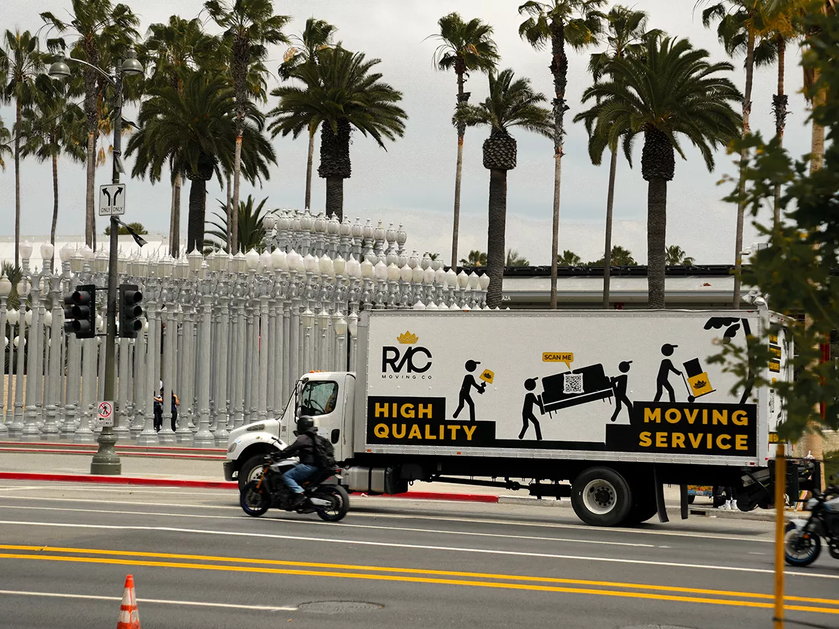
La Verne is an independent city, so a move here works under city hall rather than the City of Los Angeles. For larger moves, the city issues temporary no-parking permits that hold the curb at the address. The permit gets pulled and posted in advance. Most blocks in the city accommodate a moving truck without difficulty, since the streets are generally wider than in the older Gateway Cities. The permit keeps the loading point exactly where it is needed, particularly along Foothill Boulevard and around the University of La Verne campus.
The era of the home is the next factor. The older homes near the original downtown date back to the citrus years. They feature narrow doorways, tight original staircases, and finishes that cannot be repaired easily if they are scuffed. The postwar tract neighborhoods through the middle of the city open up around attached garages and side-yard access. The newer foothill subdivisions to the north have larger lots, longer driveways, and sloped approaches. The slope affects the truck size and the carrying capacity. We size the crew and the truck for each kind of property.
Fire season is the other planning factor here. La Verne sits at the foothills of the San Gabriel Mountains, with the Angeles National Forest immediately to the north. Through peak fire-risk months, conditions can shift quickly. We watch the conditions and keep an eye on evacuation warnings and Red Flag alerts. The schedule stays flexible where safety requires it. The University of La Verne adds its own seasonal pulse. The start and end of each academic year bring waves of student moves in and out. The permit, the access, and the truck size are settled before move day, so nothing slows the job once the crew is on site.