Getting to Know La Cañada Flintridge
How La Cañada Flintridge Sits
La Cañada Flintridge is an independent city in the foothills of the Verdugo and San Gabriel Mountains. It sits in northeastern Los Angeles County. It covers about 8.6 square miles and holds about 20,573 residents. That works out to a low density of around 2,384 people per square mile. Because it is its own city, La Cañada Flintridge sets its own rules on truck access, oversized vehicles, and permits. These rules are separate from the City of Los Angeles. The city operates on a contract model with a small full-time staff. It works through a council-manager government.
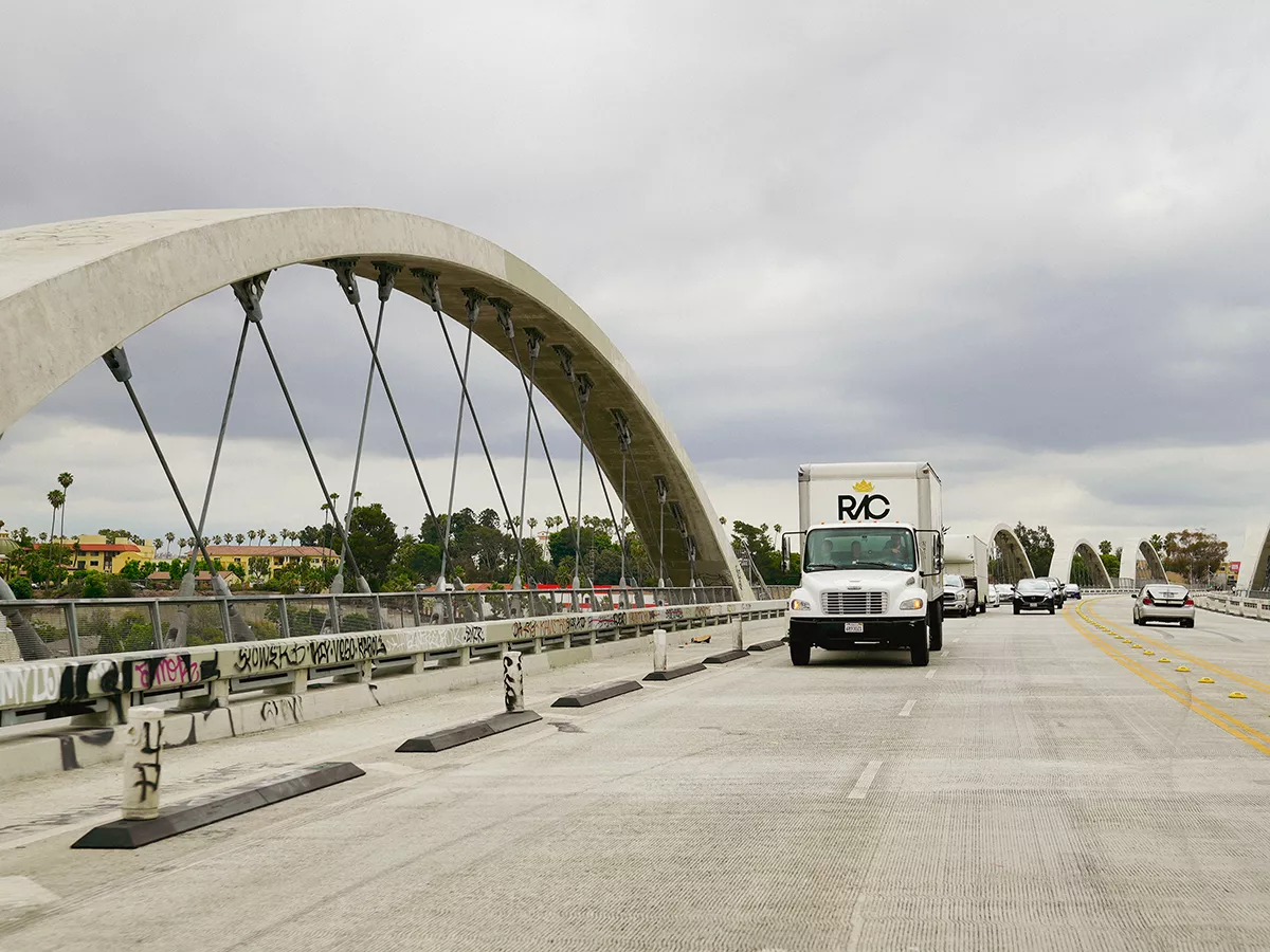
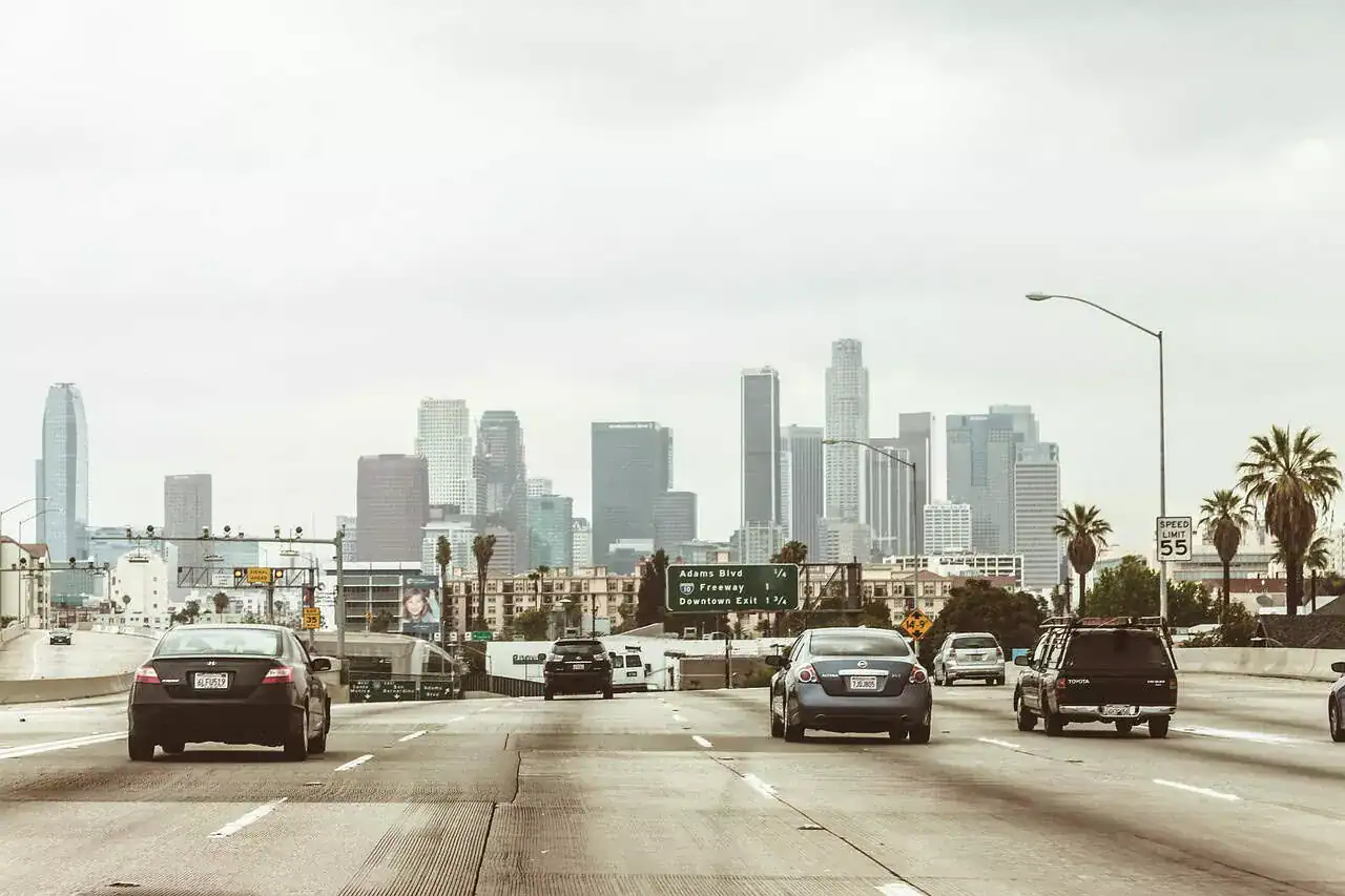
The city sits in the Crescenta Valley on the western edge of the San Gabriel Valley. It lies about thirteen miles northeast of downtown Los Angeles, just northwest of Pasadena. Foothill Boulevard runs east-west as the main commercial route. Angeles Crest Highway runs north out of the city into the Angeles National Forest. The 210 Foothill Freeway crosses the southern portion of the city. La Cañada Flintridge borders La Crescenta and Montrose to the west and Glendale and the Verdugo Mountains to the southwest. Pasadena and Altadena lie to the southeast, and the Angeles National Forest to the north. The Jet Propulsion Laboratory, NASA’s center for robotic exploration of the solar system, sits at the eastern boundary of the city. It is one of the largest employers in the area, alongside Descanso Gardens just to the west.
The housing is overwhelmingly single-family and owner-occupied, with about 89% of homes owner-occupied. The household average runs around 2.9 people, and the median household income ranks among the highest in the county.
From Rancho La Cañada to a Merged City
The earliest inhabitants of the area were the Shoshone people. They lived in small villages near water sources and hunted and gathered across the foothill oak groves. During the Spanish and Mexican eras, the land was known as Rancho La Cañada. After the American period began, the valley side developed into a quiet farming community of orchards and ranches through the late 1800s and early 1900s. It was named La Cañada for the valley itself.
The hillsides to the south took a different path. In the early 1900s, U.S. Senator Frank Putnam Flint identified the slopes of the San Rafael Hills as a site for a high-end residential development. Flint had played a central role in securing the federal water rights that brought the Owens River aqueduct to Los Angeles. He bought the land and named it Flintridge. The 1927 Flintridge Biltmore Hotel anchored the new community and now serves as the administration building at the Flintridge Sacred Heart Academy. JPL grew out of Caltech rocketry research in the surrounding hills through the 1930s and 1940s. It was formally founded as a NASA center in 1958.
For decades, La Cañada and Flintridge remained two distinct communities, both unincorporated. On November 30, 1976, residents voted to incorporate the two together as the City of La Cañada Flintridge. The move was driven in part by a desire to keep local control and resist annexation pressure from larger neighboring jurisdictions. The name was kept full, without a hyphen, to honor both halves. The 2009 Station Fire began nearby in the Angeles National Forest and burned more than 160,000 acres. It remains a defining recent event for the city, and a reminder of how closely the community lives with the surrounding wildland.
What a La Cañada Flintridge Move Really Involves
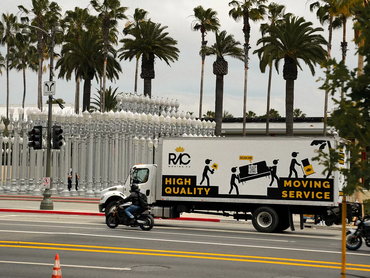
La Cañada Flintridge is an independent city, so a move here works under the city hall rather than the City of Los Angeles. For larger moves, the city issues temporary no-parking permits that reserve curb space at the address. These are arranged and posted in advance. Most blocks in the city accommodate the truck without difficulty. The permit keeps the loading point exactly where it needs to be, especially along the busier stretches of Foothill Boulevard, Angeles Crest Highway, and Verdugo Boulevard.
The terrain is the next factor. The Flintridge side, on the slopes of the San Rafael Hills, has sloped driveways, hillside lots, and homes set well back from the street. Many have stairs from the driveway to the front entry. We assess the approach in advance. The truck has to manage the grade and the turning radius on the hillside streets, so we choose the size accordingly. On the La Cañada side, the valley floor is generally flatter. The streets are narrow and tree-lined, and mature canopies affect the height clearance for larger trucks. We size the truck to the block on both sides.
The homes themselves are larger than in most of the surrounding cities. They hold substantial furniture, art, and personal collections, and many have custom finishes that need protection. We bring extra padding, runners, and door jamb guards as a matter of course. Fire season is the other planning factor in La Cañada Flintridge. The city sits at the edge of the Angeles National Forest. Conditions during peak fire-risk months can change quickly. We watch the conditions, keep an eye on evacuation warnings, and stay flexible on timing where safety requires it. We handle the permit, the access, and the truck size ahead of move day, so nothing slows the job once the crew is on site.


")